The first passive microseismic technology used by TenzorGEO’s team, the Low Frequency Seismic technology (LFS), is a simple to implement, cost effective and environmentally friendly Direct Hydrocarbon Indicator methodology (DHI).
The main and most successful application of the LFS technology today is the location and delineation of hydrocarbon deposits. When and how this is achieved depends on the specific nature of a problem our client aims to address, be it geological, geomechanical, geographical or financial, as demonstrated by the following examples:
- Confirmation of hydrocarbons presence and their lateral extent in the identified reservoir
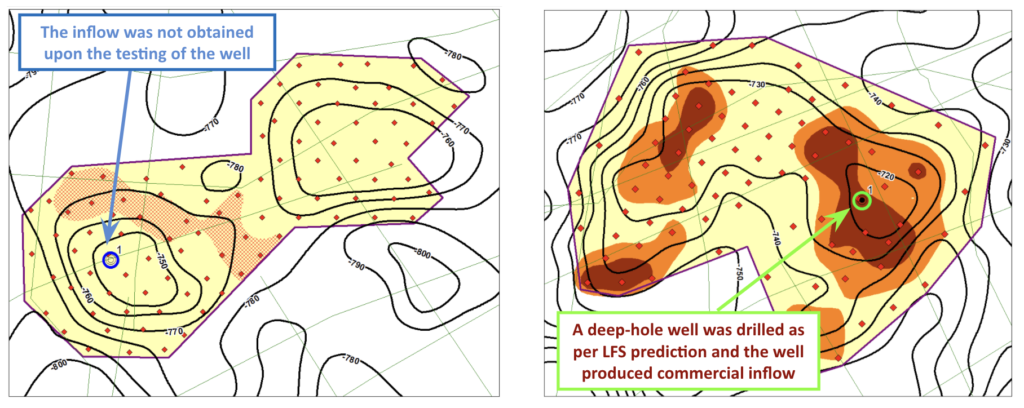
One of the main tasks of petroleum geological and geophysical research is the positioning of the wells. The presence of a reservoir structure does not guarantee the presence of hydrocarbons. Conventional seismic surveys are aimed, for the most part, at studying the geometry of the trap and the evaluation of formation properties. However, they do not unequivocally answer the question of the presence or absence of hydrocarbons in the traps to be drilled. Relying only on the data obtained by traditional seismic exploration carries a substantial risk of drilling a dry hole
- Small pools location
Unlocking marginal fields in the UK part of the North Sea alone is estimated to be worth £135bn. Small pools have remained undeveloped for a number of reasons that can be broadly divided into the following: high degree of production uncertainty; remote location of the existing infrastructure; current misalignment between commercial expectations and the exploration and development costs. Although TenzorGEO could not address all of these concerns, application of the LFS technology to locate and delineate small pools in the vicinity of existing fields significantly reduces the exploration costs and adds certainty to marginal fields drilling campaigns
- Assessment of hydrocarbons presence in sub-salt, sub-basalt or sub-coal deposits
Unlike conventional active seismic surveys, passive LFS surveys rely on the low-frequency vertical P-waves which come from the earth’s crust and are not influenced by salt, basalt or other similar seal structures, making LFS the only reliable way to confirm the presence of hydrocarbons
- High environmental sensitivity of the area
The environmental impact of active seismic surveying has led to increased public scrutiny in recent years. Offshore, the stakeholders questioned the effect of active compressed air marine seismic sources on marine life. Onshore, concerns were raised about the use of heavy machinery such as vibroseis trucks, weighing up to 40 tonnes, which must be moved across fields and forests, creating clear lines across the survey area, or the use of explosives in locations where trucks could not operate. By contrast, a passive survey has no need for heavy equipment, explosions or clear lines, and it uses receiver nodes that require no external cables or power sources, leaving the wild life undisturbed. With such minimal impact on the environment, the passive surveys can receive a quicker sign-off from local authorities, save costs and generate a more positive perception of the proposed oil and gas activity in the wider community
- Locate infill targets/bypassed pay within existing fields or delineate sweet spots in distributed (e.g. channelised) hydrocarbon accumulations
Where other methods have low success rate in locating and delineating remaining hydrocarbons, LFS shows great effectiveness as it can detect hydrocarbon deposits which are just a couple of meters thick and predict sweet spots for drilling where the probability of the hydrocarbons presence as at its maximum
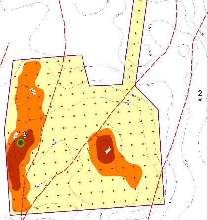
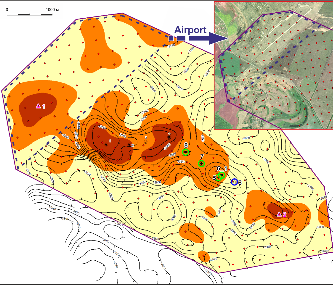
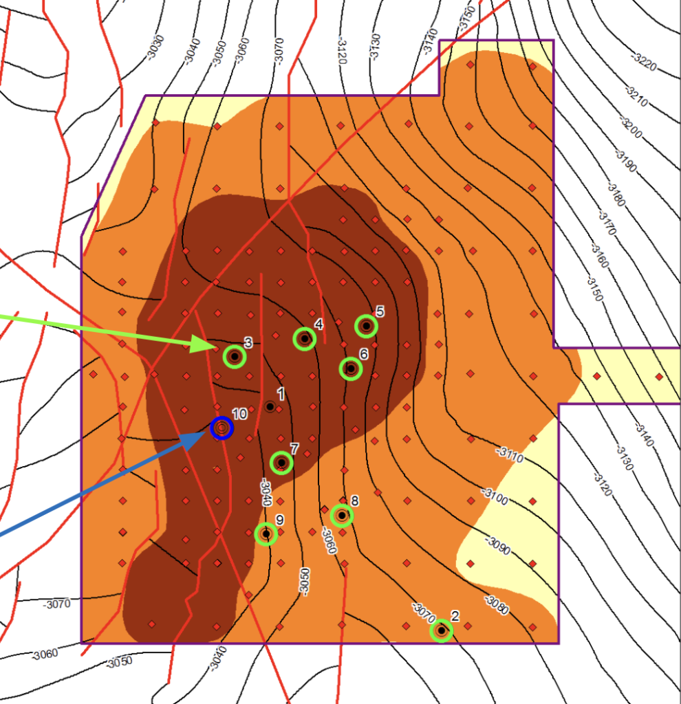
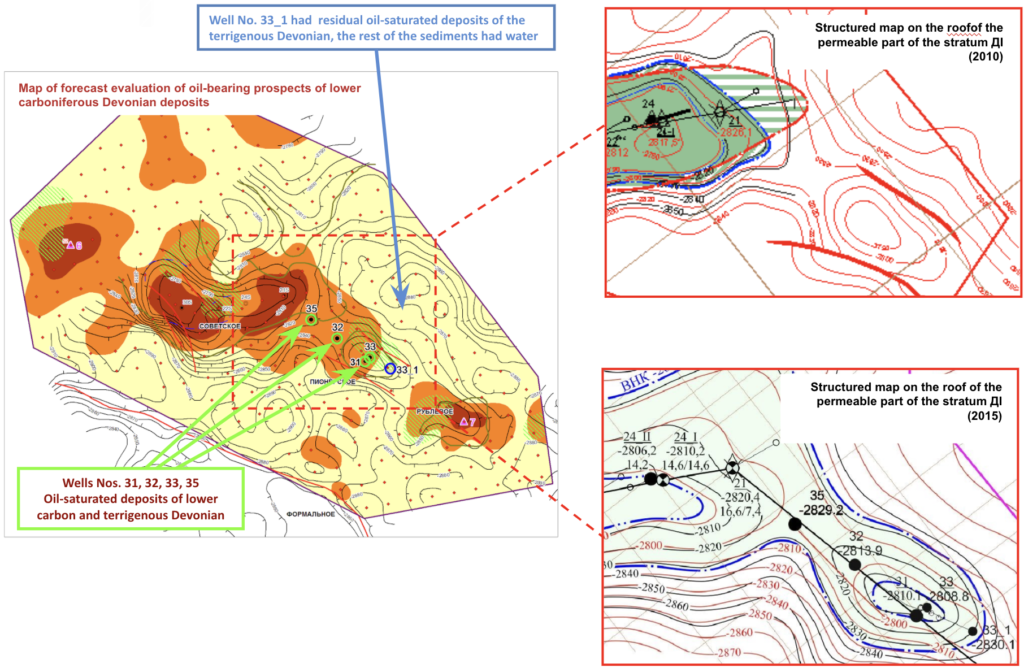
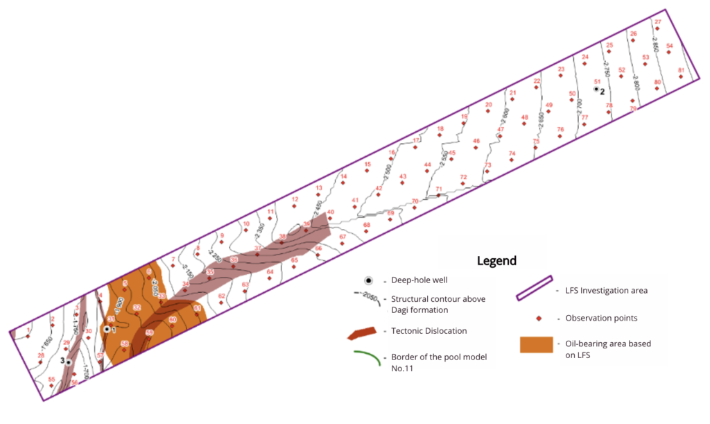
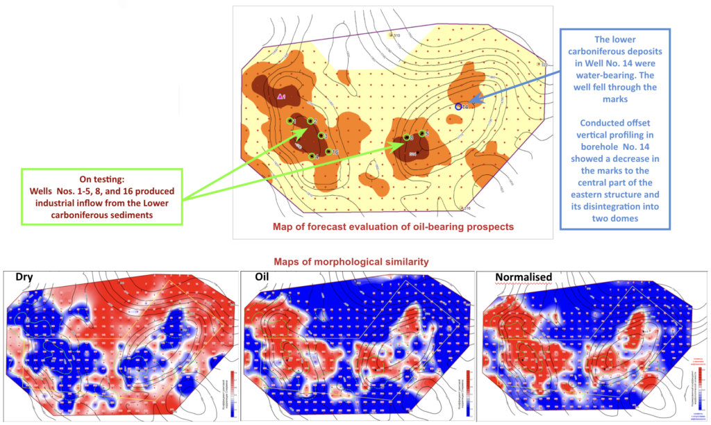
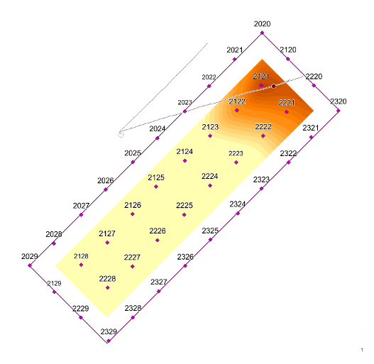
So far, LFS has been applied extensively to locate and delineate hydrocarbon deposits in various geological and geographical situations addressing a number of technical briefs, with about 85% success ratio. Out of 161 wells drilled following the LFS survey, 137 wells confirmed the forecast. Please take a look at some of the case studies presented below.


